The Geographical Map
The ReliefMaps+ platform allows to collect narrative and emotions related to specific points and areas with geographic coordinates in a map. This innovative feature allows for the collection of georefenced data that:
- Firstly, it leverages the power of maps to evoke memories and reflect upon lived experiences. On the geographical map, participants can indicate whether each selected point represents a place of comfort or discomfort and share the emotions and their experiences associated with that location.
- Secondly, it enables us to consider the complex dimensions of place. A single physical location, for instance, can hold very different meanings for different individuals. Therefore, this tool not only collects specific coordinates but gathers first-person experiences about places: the emotional map of each person. The collection of places is designed to capture meaningful locations across diverse scales (such as a square, neighborhood, or country).
- Thirdly, it allows more systematic and complex analysis and visualization of spatial patterns of well-being and discomfort due to specific configurations of intersectional inequalities in space. This is accomplished thanks to the combined analysis of the georeferenced data together with the qualitative and quantitative data collected using Relief Maps.
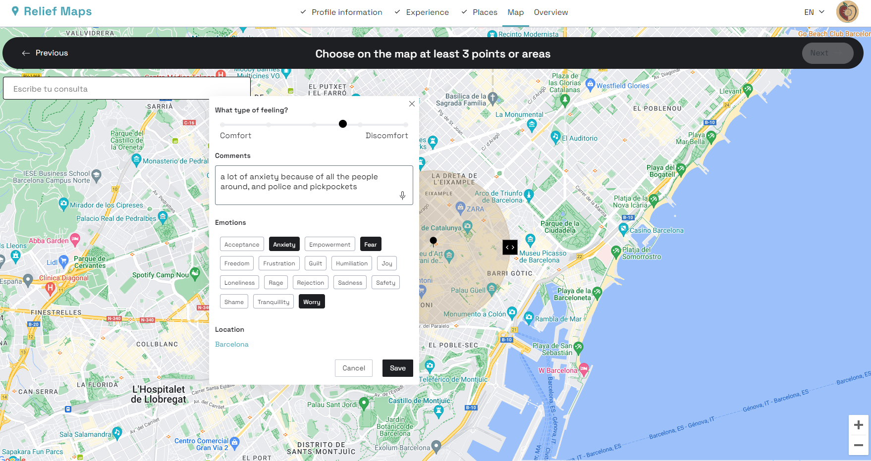
Image 1. Participant view of the map.
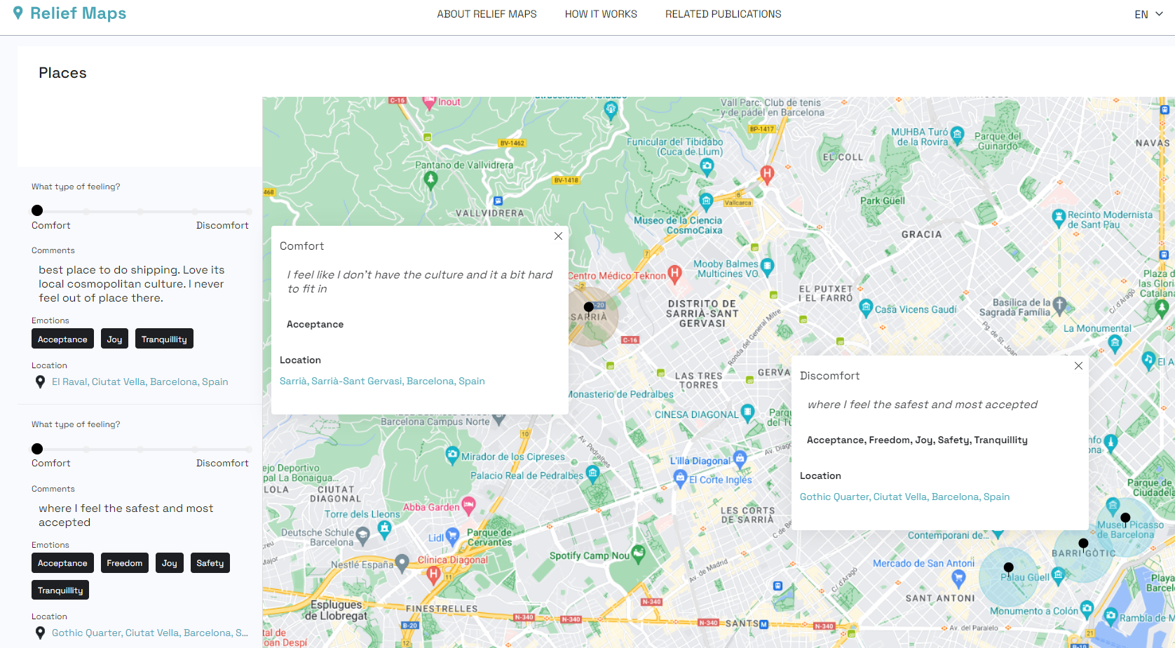
Image 2. Example of data collected through the map.